-
Notifications
You must be signed in to change notification settings - Fork 3
CCA GTL
Philip Maechling edited this page May 6, 2022
·
6 revisions
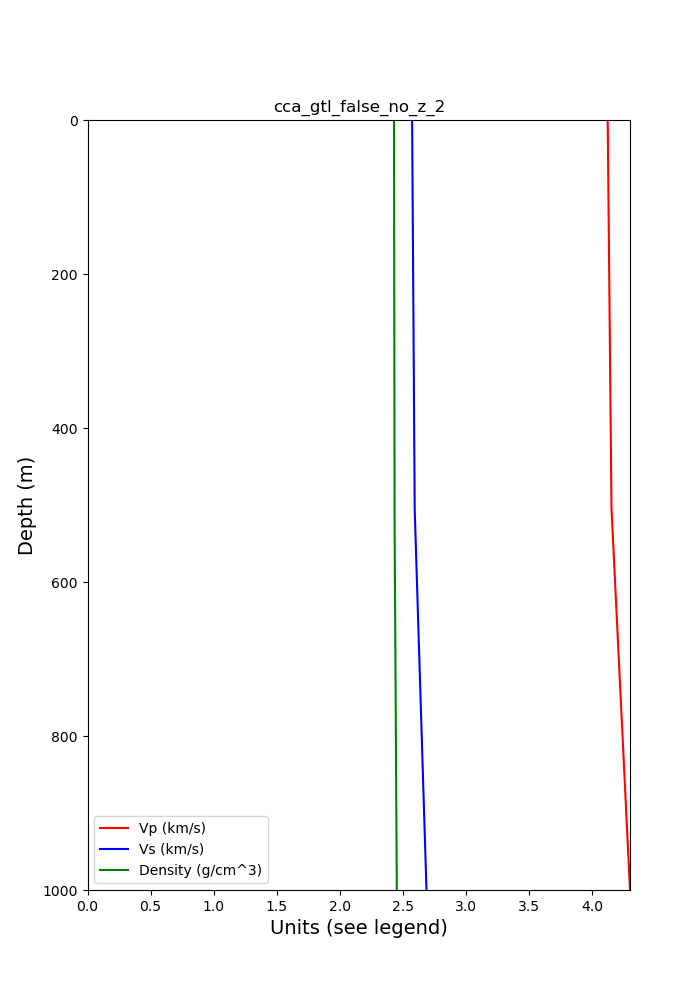
CCA (scientific name is Central California Area model) is a tomopgraphy improved version of CVM-S4 and Cencal, a USGS northern California model. The tomography produced a cell-based velocity model with an option GTL that is set off by default. The GTL is enabled in the model/config file. The elygtl can also be added to this model.
The first vertical profile plotted below is at location USC:
- LAT=34.0224
- LON=-118.2851
- STEP=1
- START_depth=0
- END_depth=1000
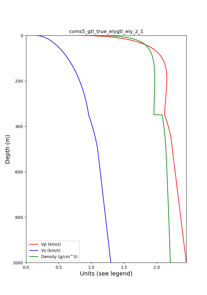
The second vertical profile plotted below is location near Ridgecrest at:
- LAT=35.5
- LON=-117.5


