-
Notifications
You must be signed in to change notification settings - Fork 41
Home
If you do not know where to look first, check out the site. If you are looking for the latest news, check out the News page.
This project provides tools to play with geographical data. It also works with non-geographical data, except for map visualizations :).
There are embedded data sources in the project, but you can easily play with your own data in addition to the available ones. After data loading, you can:
- perform various types of queries (find this key, or find keys with this property)
- make fuzzy searches based on string distance (find things roughly named like this)
- make phonetic searches (find things sounding like this)
- make geographical searches (find things next to this place)
- get results on a map, or export it as csv data, or as a Python object
This is entirely written in Python. The core part is a Python package, but there is a command line tool as well! Get it with easy_install, then you can see where are airports with international in their name:
$ GeoBase --fuzzy international --mapYou can perform all types of queries:
$ GeoBase --base cities --fuzzy "san francisko" # typo here :)Of course, you can use your own data for map display:
$ cat coords.csv
p1,48.22,2.33
p2,49.33,2.24
$ cat coords.csv | GeoBase --map
And for every other thing as well:
$ cat edges.csv
A,B
A,C
D,A
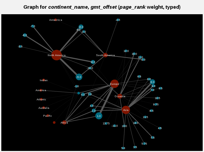
$ cat edges.csv | GeoBase --graph
Administrate the data sources:
$ GeoBase --adminHere are some useful links:
- the API documentation for the Python package
- the wiki pages for any question!
- the twitter account for the latest news
You can start reading the Installation guide then the Quickstart. Check out the pages for more information.
Do not hesitate to open issues for missing:
- documentation
- examples
- use cases
- features
- data

