RunGUI
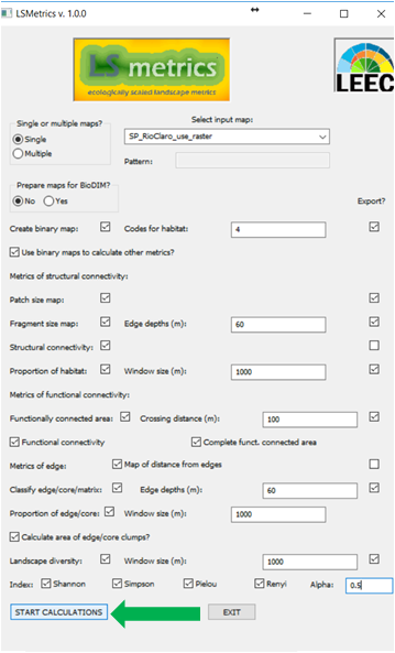
Here we briefly explain how to set some important parameters used in LSmetrics. Again, make sure your input raster is using a metric coordinate reference system (CRS).
Select the input map(s) and after you choose all the parameters that fit your analysis, you can click on "START CALCULATIONS". Note that when choosing Export, the output of calculations (output raster maps and statistics text files) will be exported to a folder chosen by the user.
Then, select the output directory where all the rasters with the chosen metrics will be saved, as follows.

