❗ High Resolution and 90 meters world tilesets are in sale (offline usage) to support the project. Contact HERE if interested
❗ Also it is possible to combine any of the DEMs included in high resolution terrain with your own DEMs, and generate a tileset suited for your needs. Contact HERE if interested
❗ Cesium Very High Quality terrain is now live. You can see it on High resoluion terrain @ https://746a8040.ngrok.io
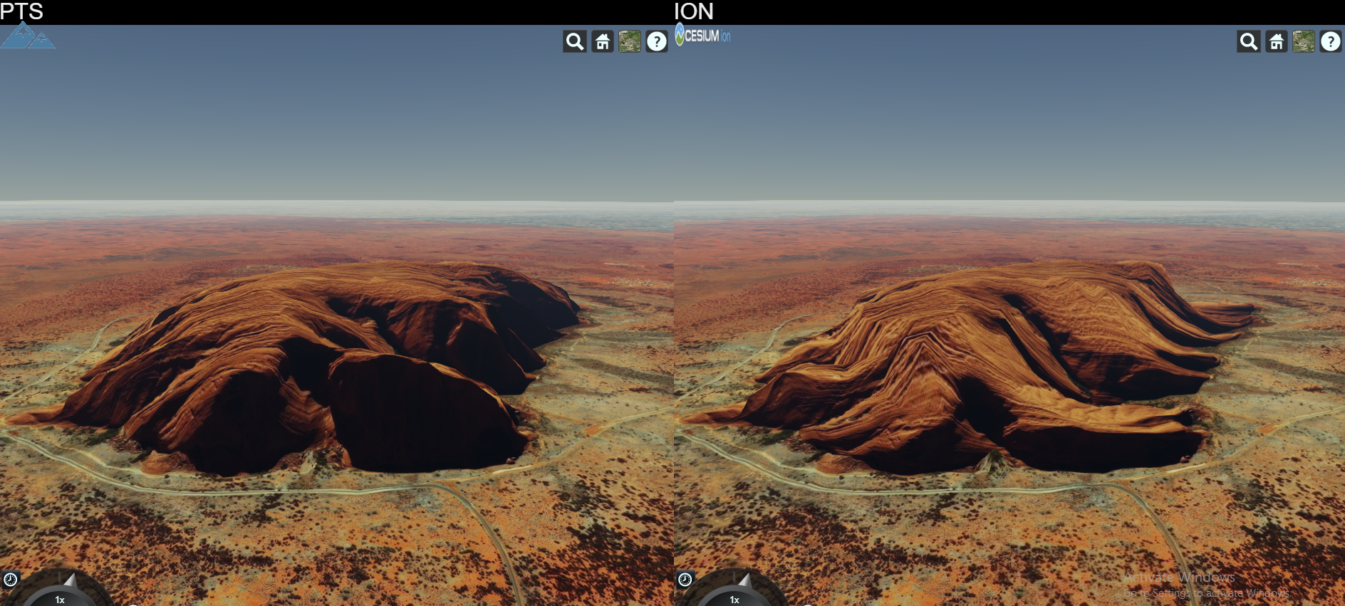
❗ Compare PTS and ION terrains side by side HERE
PTS is a software that produces terrain data to be served primarily for CesiumJS library.
Twitter page HERE
Blog about the project HERE.
You can preview live demo HERE
Cesium updated to 1.61. Now Earth looks way much cooler!
❗ High Resolution World Tileset is finally available. It has many data curated already and will be more incoming. Currently the coverage is stated as below:
- 90 meters Antarctica
- 90 meters Arctic Area
- 90 meters above 60N Russia
- 30 meters World Wide except above areas
- 10 meters USA and Alaska
- 10 meters Iceland
- 10 meters Australia
- 10 meters Norway
- 8 meters New Zealand
- 5 meters for Luxembourg
More will be joining to this high resolution dataset and improvements will be made.
❗ Vesta and Ceres asteroids are in 3D. Go to terrainserver.com to view them.
❗ First Tileset Released INFO
❗ World Tileset 90m whole world resolution is available for sale in order to support project. Lighting and Water extensions supported. Contact for details over Twitter. Preview HERE.
- Cesium ION output like terrain generation
- Cesium STK Terrain Server dataset file format read support
- Cesium STK Terrain Server dataset file format write support
- Quantized Mesh format tile generation
- KML format tile generation
- Tile Lighting Support
- Watermask Support
- High Throughput Tile Server
High resolution whole world dataset. Extensions supported
90m whole world dataset. Extensions supported
665m resolution Mercury elevation data, original Mercury scale
118m resolution Moon elevation data, original Moon scale
232m resolution Mars elevation data, original Mars scale
Elevation and Bathymetry data for whole wide world in 500m resolution


