This repository contains the resources and code snippets related to two insightful articles that delve into the analysis of inland water bodies using Google Earth Engine and Python. The articles provide a comprehensive guide on how to monitor surface water area and estimate lake volume, offering a hands-on approach to aquatic remote sensing
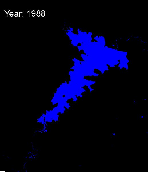
- Monitoring Inland Surface Water Area using Google Earth Engine & Python: This article provides a step-by-step guide on how to monitor the area of inland surface water bodies. It introduces the readers to the use of Google Earth Engine and Python for satellite imagery analysis and water body monitoring.
- Unlocking the Depths: A Guide to Estimating Lake Volume with Google Earth Engine and Python: This article takes a deep dive into the estimation of lake volumes using global bathymetric data. It further guides the readers on how to visualize the 3D topography of a lake using Python and Google Earth Engine.

These articles serve as a valuable resource for anyone interested in remote sensing, environmental science, or data analysis. They offer a practical approach to understanding and visualizing aquatic ecosystems. Feel free to explore the code and use it as a stepping stone for your projects and research in this exciting field.