This package provides a GTK map widget with support for GPS coordinates. It uses osm-gps-map as a backend.
Documentation provided by GoDoc.
- gtkmap: provides a GTK map widget with support for GPS coordinates.
Install the osm-gps-map dependency and run:
go get github.com/mewmew/gtkmap
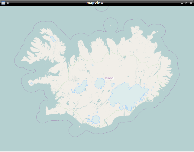
mapview is a simple example which creates a new GTK window with a map widget and center the map on Iceland.
go get github.com/mewmew/gtkmap/examples/mapview
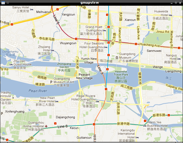
The gmapview example uses Google Maps as source for the map tiles (the default is OpenStreetMap).
go get github.com/mewmew/gtkmap/examples/gmapview
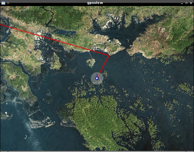
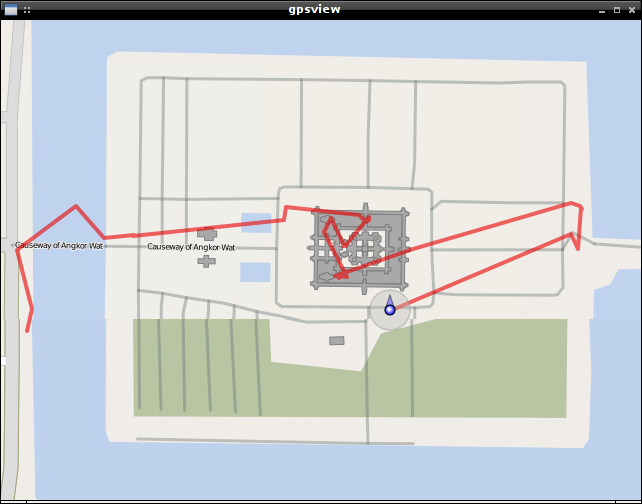
gpsview parses image GPS coordinates and plots them on a map. The tile source repository and cache settings are customizeable.
go get github.com/mewmew/gtkmap/cmd/gpsview
gpsview [OPTION]... [IMAGE]...
Flags:
-cache (default="")
	Cache directory ("" represent "$HOME/.cache", "none://" disables cache.).
-lat (default=20.793415)
	Latitude.
-long (default=106.99894
	Longitude.
-s (default=11)
	Tile source repository (1-16).
-v (default=false
	Verbose.
-z (default=11)
	Zoom level (1-18).
Mouse button events:
* left double-click
	Center on mouse cursor and zoom in.
* right double-click
	Center on mouse cursor and zoom out.

* middle click
	Print coordinate at mouse cursor.

* [shift] + left click
	Add GPS marker at mouse cursor.
* [ctrl] + left click
	Clear lines between GPS markers.
-
Plot all images in the "images/" directory.
gpsview images/*
-
Disable cache, use Google Maps as source and set zoom level to 16.
gpsview -cache="none://" -s=6 -z=16 *
The source code and any original content of this repository is hereby released into the public domain.


